
Who Owns Scotland?

Mapping land ownership throughout rural and urban Scotland
Land ownership in Scotland is among the most concentrated in Europe. Fewer than 500 individuals own more than half of the country’s privately owned rural land, a fact that has long shaped questions of power, inequality, and community futures. When Red Sky Productions set out to create the BBC documentary Who Owns Scotland?, they wanted to make these hidden structures visible to the public.
We were invited to contribute by developing cartography that could translate complex datasets into compelling visual narratives. Our role was to take vast amounts of information — records of ownership, estates, communities, and geographical context — and make them legible for a broad audience watching the series.
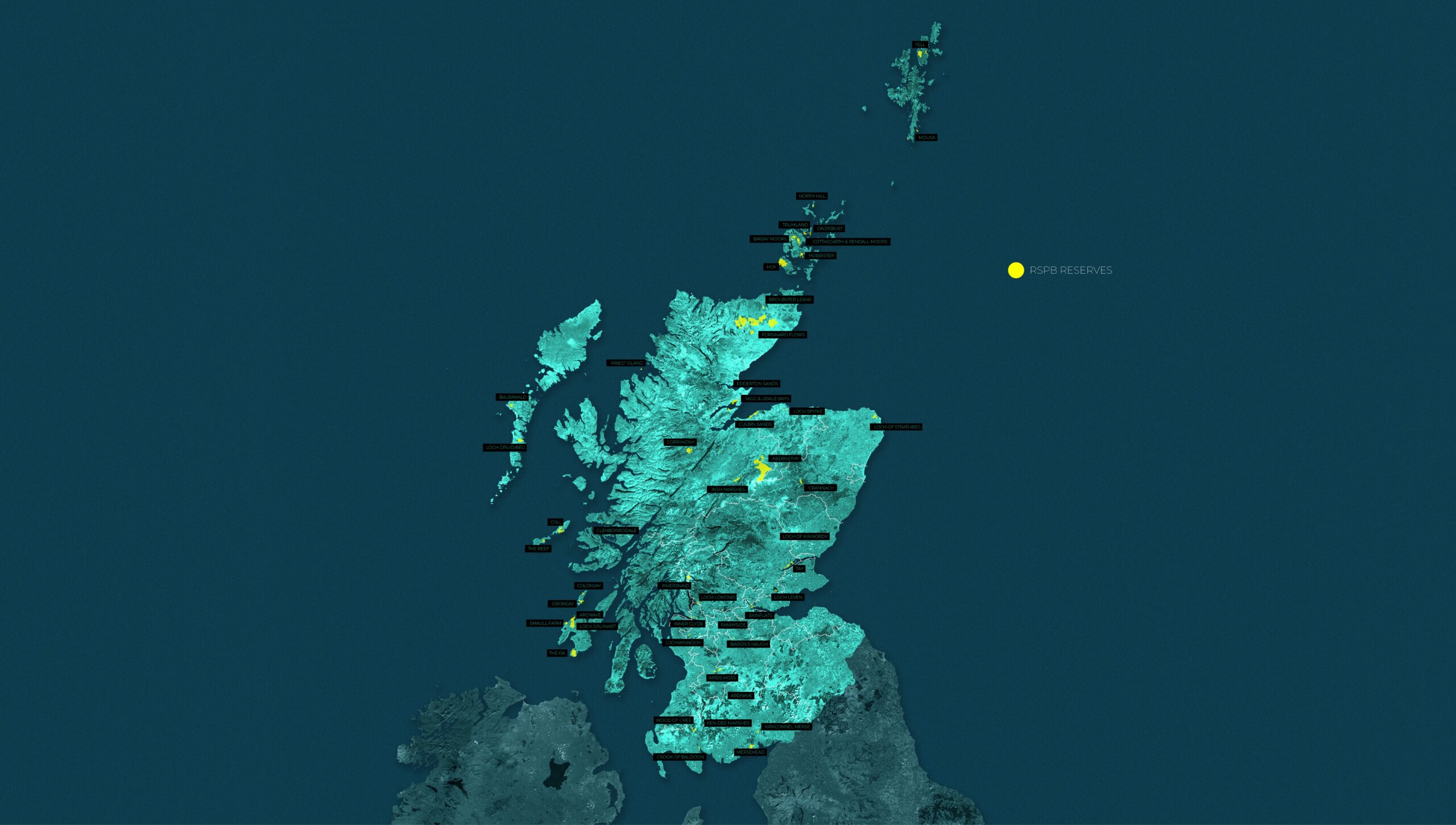
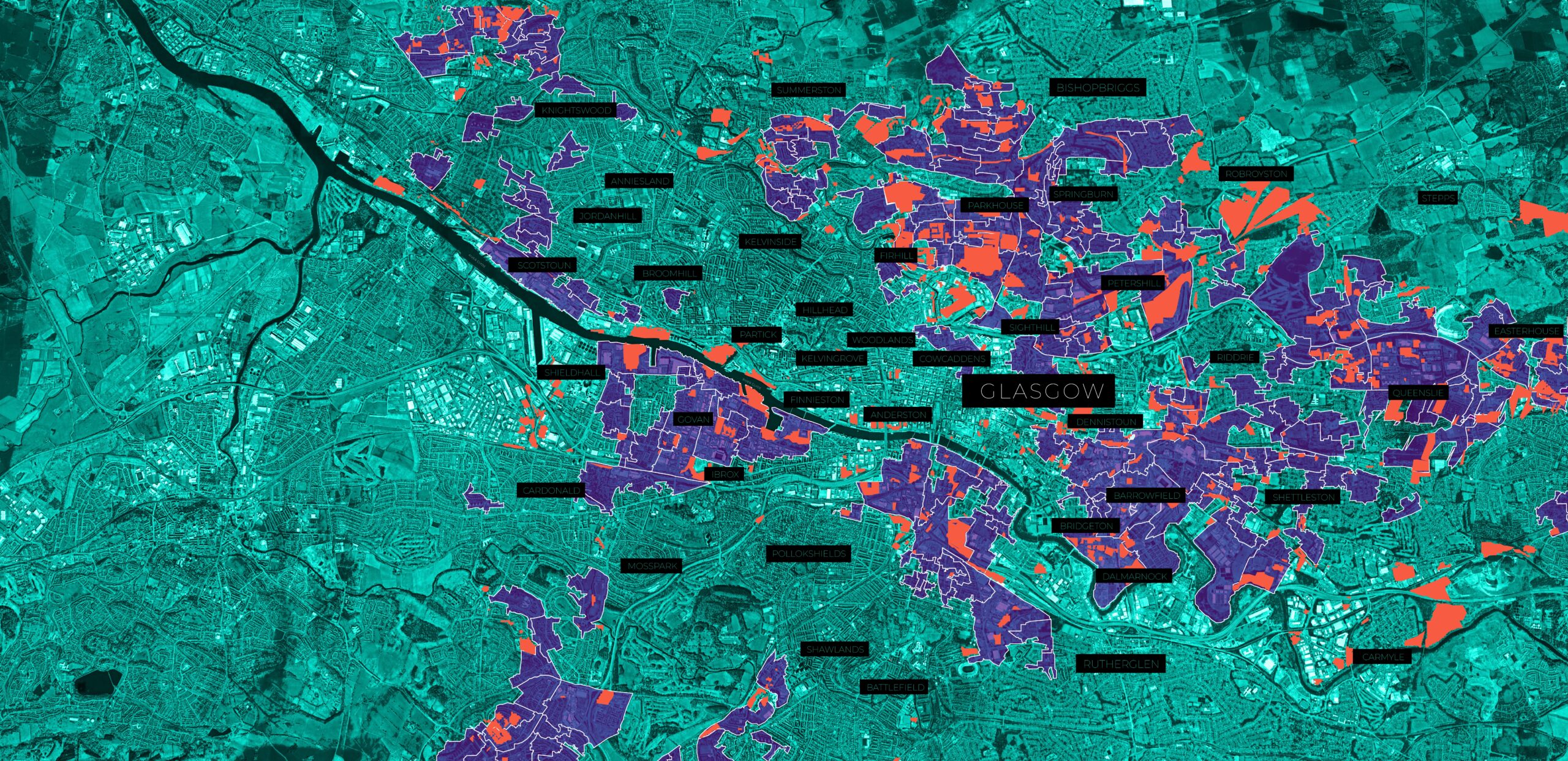
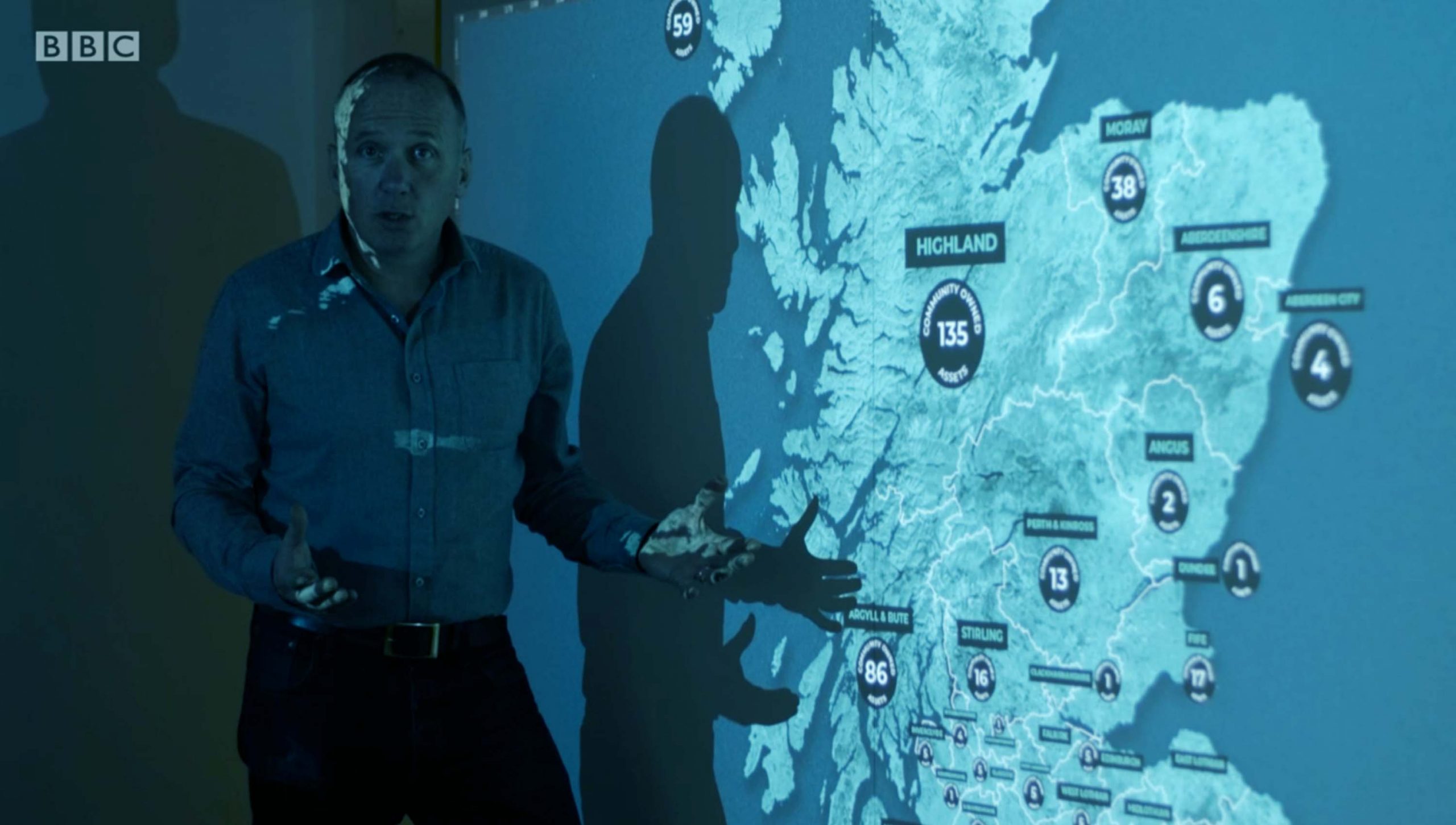
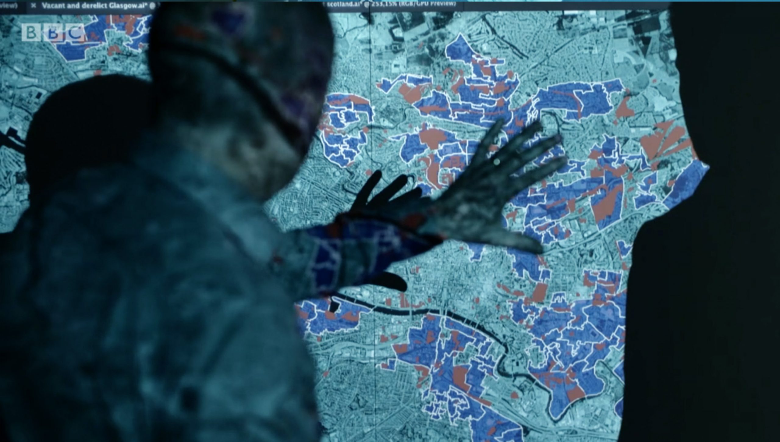
The design challenge lay in balancing clarity with nuance. We created a suite of maps at different scales: national overviews showing the concentration of ownership across Scotland, regional maps that highlighted contested or emblematic estates, and localised visualisations tied to specific communities. Each map used a clear graphic language of colour, pattern, and annotation to ensure accessibility without oversimplification.
Working closely with the documentary producers, we ensured that the maps supported storytelling on screen. Animated transitions allowed viewers to zoom from national scale to local detail, reinforcing how abstract patterns of ownership have real impacts on everyday life. By pairing cartography with testimony from communities and experts, the design helped ground a complex debate in lived experience.
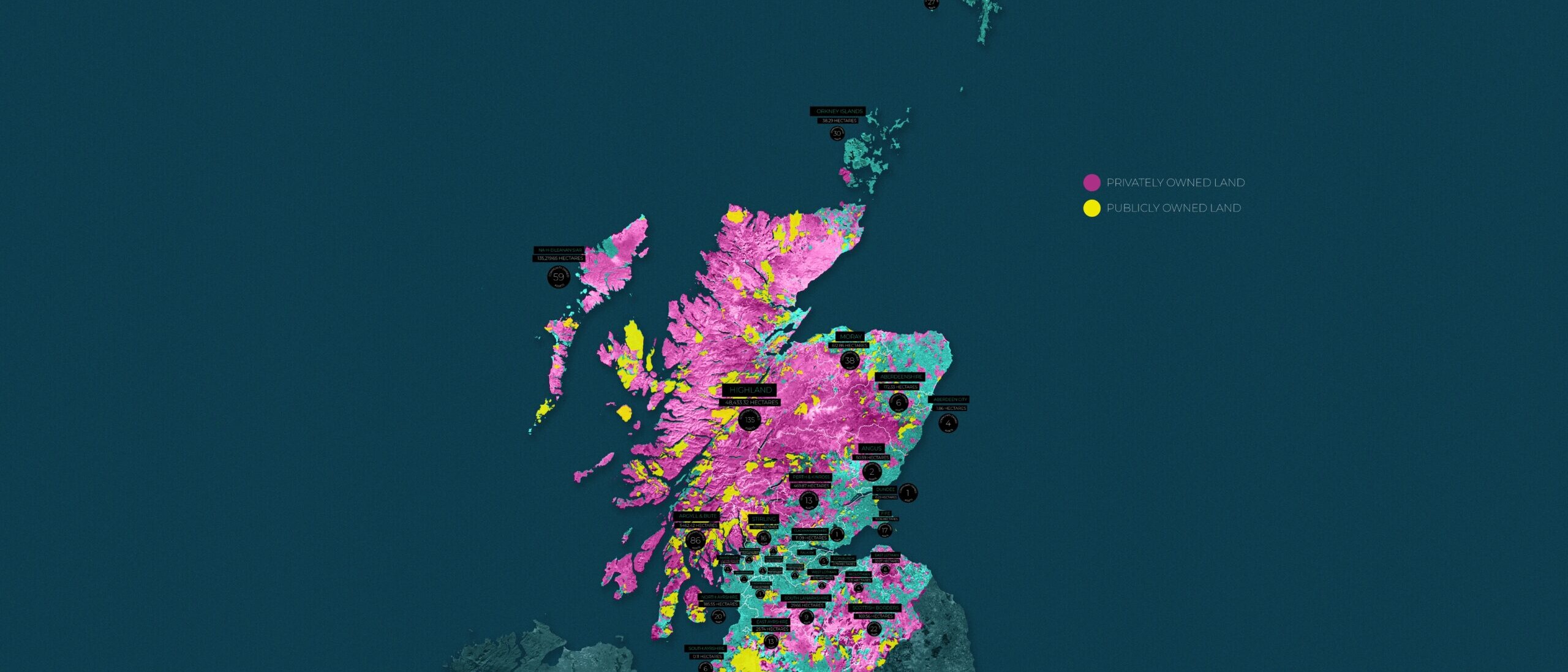
The two-part series aired on BBC Scotland in 2021 and reached a wide audience both on broadcast and iPlayer. The maps became one of the key interpretive tools of the programme, sparking debate across media and political forums. Coverage in outlets such as the BBC News highlighted how visualising ownership illuminated one of Scotland’s most urgent social issues.
For us, Who Owns Scotland? reaffirmed the power of design and cartography as civic tools. By making invisible systems visible, the project opened up questions of accountability, democracy, and the future of land reform. It demonstrated how design, when integrated into public media, can shift national conversations and empower citizens to better understand the structures shaping their lives.